NOAA Radar Pro is an all-in-one weather station right on your device. The weather radar image map is enhanced with severe weather warnings and alerts to ensure that bad weather doesn’t catch you off guard!
Core Functionality
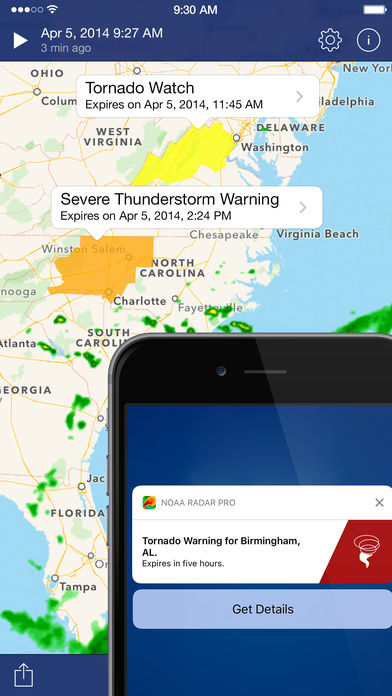
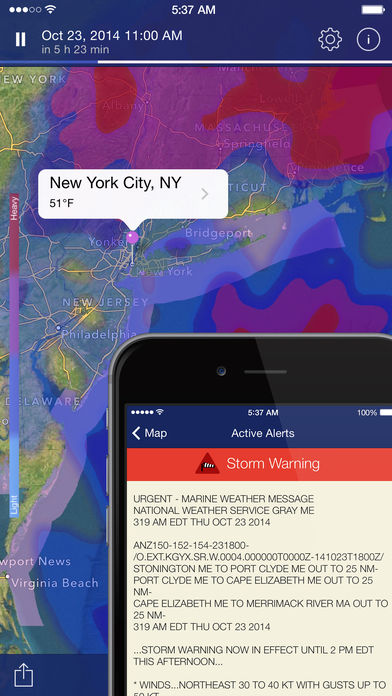
- Receive notifications of alerts without having to open the app (tornadoes, flood warnings, snow storms, and more) by getting a push notification every time an alert is issued.
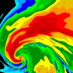
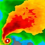
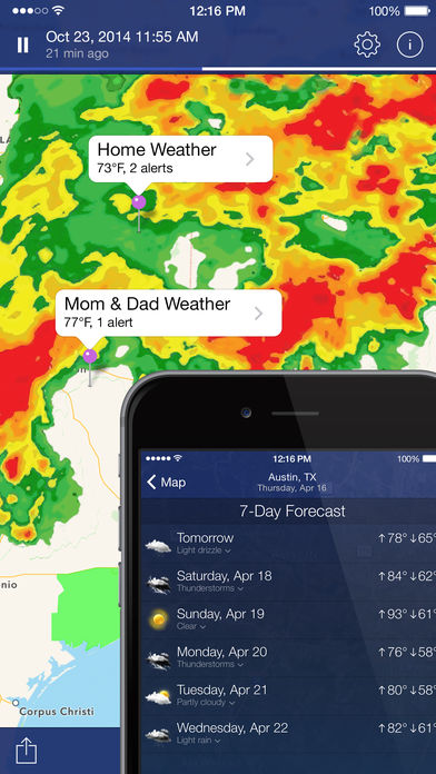
- Rain, snow, and mixed precipitation can be viewed in real-time using radar and satellite overlays in high-resolution and vibrant colors.
- You can view a terrain map with a forecast of the next 24 hours of rain on a Rain map.
- You can see both global and local views of the current snow layer using this snow depth map.
- When a weather-related alert is issued, the area it affects is shown on the map as an interactive polygon—tap one to view the full alert text.
- Forecast and current condition information are available for nearly any location in the United States.
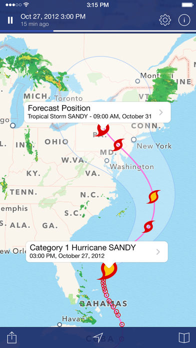
- With this application, you can track the location of tropical storms in the past and current, as well as their future track.
Features
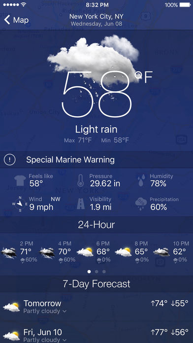
- With just one swipe, you can view the current temperature, today’s Minimum and Maximum temperatures, and weather forecasts for the next few hours.
- A map showing the tracks of tropical storms and hurricanes is on the forecast.
- Select the frame quantity, animation speed, and radar and satellite layer opacities.
- You can search for locations easily. Just press on any map spot to get detailed weather information.
- You can quickly switch spots to see the weather in your favorite places.
- Standard, hybrid and satellite background maps are available.
- Your nearest weather station provides precise weather data.
- You can get weather information for any location, 24 hours a day and seven days a week.
- Temperature, wind speed, and visibility information are all provided in the pressure data.
- Sunrise & sunset time
Coverage Info
Radar images are available for the United States (Continental US, Alaska, Hawaii, and Puerto Rico), Canada, Australia, European Union (the United Kingdom, Ireland, Germany, France, the Netherlands, Belgium, Luxembourg, Liechtenstein, Switzerland, Italy (western), Denmark (southeast), Poland (western), Czech Republic, Austria (northwestern), Japan.
Rain maps, satellite images, and detailed weather info are available worldwide.
Hurricane tracker provides Pacific and Atlantic coverage.
NWS watches, warnings, advisories – the USA only.